
El Niño is a period when the surface of the central and eastern tropical Pacific is at least 0.5 °C warmer than normal. La Niña is the opposite: at least 0.5 °C cooler. Each lasts around 9 to 12 months, sometimes longer, and returns every two to seven years. El Niño tends to raise global temperatures and calm the Atlantic hurricane season. La Niña tends to do the reverse.
The normal state of the Pacific
In an ordinary year, trade winds blow from east to west along the equator. They push sun-warmed surface water toward Indonesia and Australia, where it piles up into the warmest ocean water on Earth. In the east, off Peru and Ecuador, cold water rises from the depths to replace it.
The result is a lopsided ocean: warm and rainy in the west, cool and dry in the east. Warm water heats the air above it, the air rises and it rains. Where the big thunderstorms sit along the equator decides the path of the jet streams, and the jet streams steer the weather for much of the world.
What changes in each phase
| El Niño | La Niña | |
|---|---|---|
| Trade winds | Weaken, sometimes reverse | Strengthen |
| Warm water | Spreads east toward South America | Pushed further west than usual |
| Eastern Pacific | Warmer than normal | Cooler than normal |
| Tropical rain | Shifts east, to the central Pacific | Concentrated in the far west |
| Global temperature | Nudged up | Nudged down |
Together the two phases and the neutral state in between are known as ENSO, the El Niño–Southern Oscillation. The name El Niño, "the boy" or "the Christ child", was given by fishermen in Peru, who noticed warm water arriving around Christmas in some years.
How it is measured
Scientists watch the sea surface temperature in a box in the central Pacific called Niño 3.4, and compare it with the long-term average for the time of year. The difference is the anomaly.
The official yardstick is the Oceanic Niño Index (ONI), a three-month average of that anomaly. An event is declared when the index stays past the threshold for five overlapping three-month periods in a row. Events usually begin in the northern spring or summer, peak between November and January, and fade the following spring.
What each one tends to bring
These are tendencies, not guarantees. Think of them as loaded dice.
| Region | El Niño | La Niña |
|---|---|---|
| Southern United States | Wetter, cooler winter | Drier, warmer winter |
| Northern United States, Canada | Milder winter | Colder, snowier winter in the north-west |
| Atlantic hurricanes | Fewer | More |
| Eastern Pacific hurricanes | More | Fewer |
| Australia, Indonesia | Drought, fire risk | Heavy rain, floods |
| Peru, Ecuador | Heavy rain, floods | Dry |
| India | Weaker monsoon | Stronger monsoon |
| Southern Africa | Drier | Wetter |
| Europe | Weak and inconsistent effect | |
The link with hurricanes is one of the clearest. During El Niño, stronger winds high above the Atlantic tear developing storms apart. During La Niña those winds relax and the season is usually busier. See hurricane categories explained.
What it can and cannot tell you
ENSO is one of the few things that lets forecasters say anything useful months ahead. It shifts the odds for a whole season. It cannot tell you whether a particular week will be wet, and its effects vary from event to event. For that, the ordinary forecast still applies, with its usual limits.
El Niño in Magic Weather
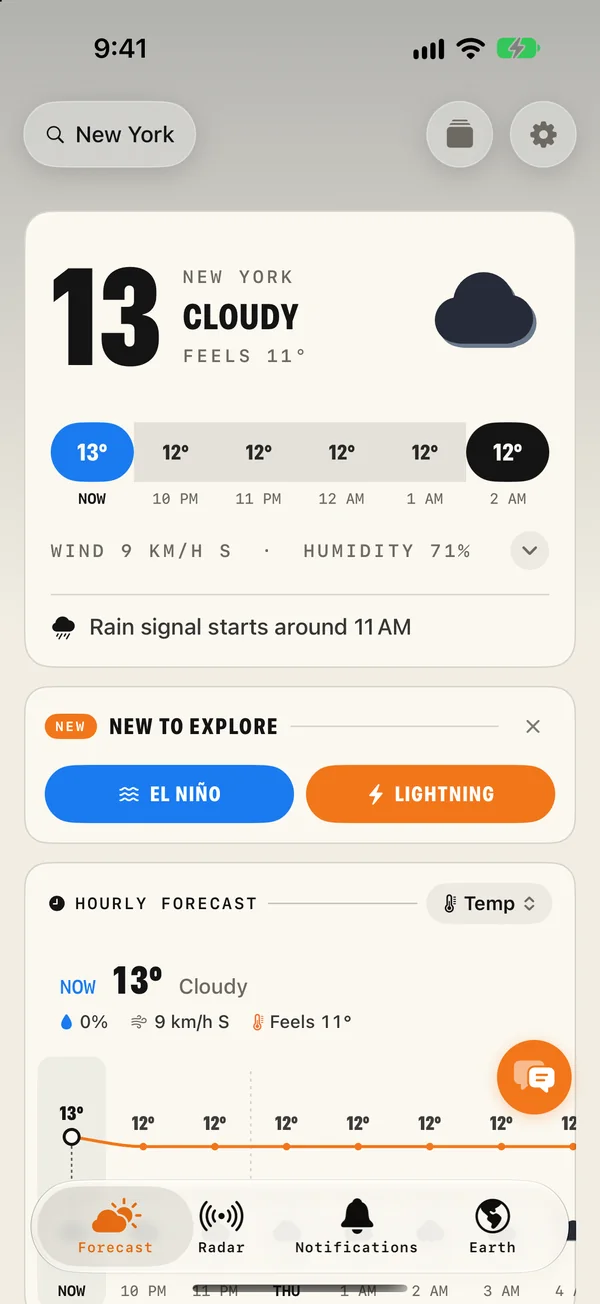
- The Sea Temp layer on the Earth tab paints sea surface temperature over the oceans. The warm pool and the cool tongue along the equator are easy to pick out.
- The ocean panel shows the latest Niño 3.4 reading and whether it counts as El Niño, La Niña or neutral.
- A chart shows how the reading has moved, with the El Niño and La Niña thresholds marked.
- World ocean temperature is shown too, with how far it is from normal.
- The El Niño shortcut on the Forecast tab takes you straight there.
Common questions
What is the difference between El Niño and La Niña?
El Niño is the warm phase: the central and eastern tropical Pacific is warmer than normal. La Niña is the cool phase: the same waters are cooler than normal. Each shifts rainfall and storm tracks in roughly opposite ways.
How often does El Niño happen?
Every two to seven years, with no fixed schedule. An event usually lasts 9 to 12 months. La Niña can last longer, sometimes two or three winters in a row.
Does El Niño make the whole world hotter?
It tends to. During El Niño the Pacific releases heat into the atmosphere, so the global average temperature usually rises by a tenth or two of a degree. The record-warm years 2016 and 2024 both followed strong El Niño events.
Does El Niño affect Europe?
Only weakly. Its influence is strongest around the Pacific, in the Americas, Australia, southern Africa and south Asia. In Europe other patterns, especially over the North Atlantic, matter far more.
Hurricane categories explained: what Category 1 to 5 really mean
Hurricane categories measure wind speed only. See the full Saffir-Simpson scale, what the cone of uncertainty shows, and why water is the bigger danger.
How accurate are weather forecasts, really?
A 5-day forecast is right about 90% of the time, a 7-day about 80%, and a 10-day only about half. Here is why, and how to read each range.
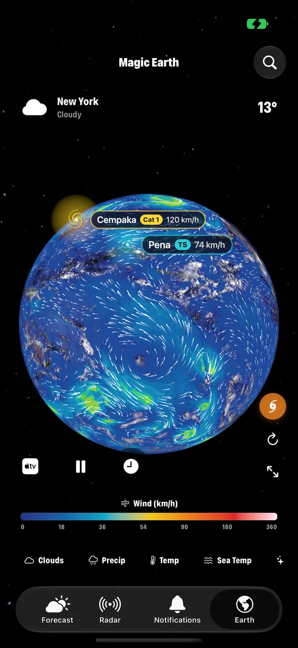
Every Earth layer in Magic Weather, explained
Clouds, rain, temperature, wind, pressure, sea temperature, aurora, UV, ozone, satellites, earthquakes and fires: what each Magic Weather layer shows.